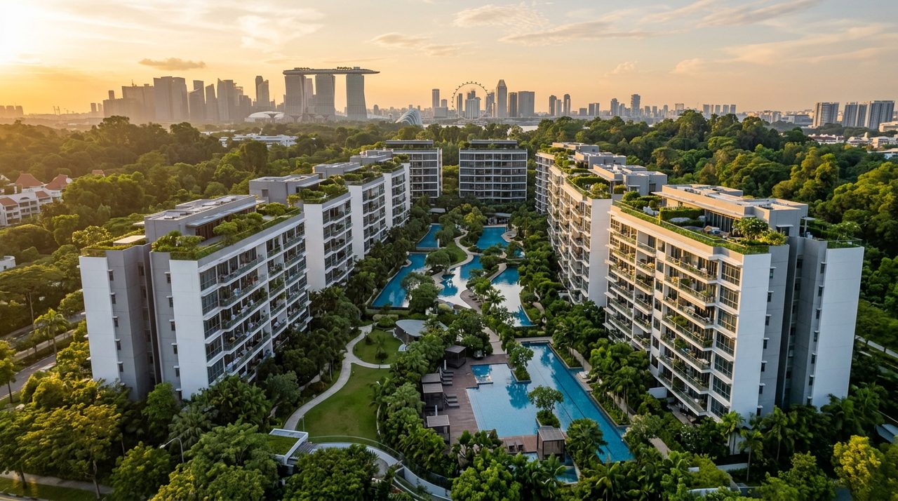
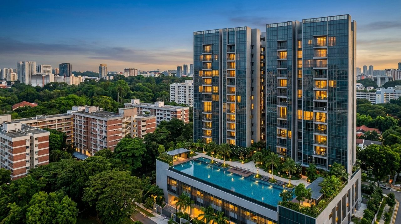
 plan
planTengah Service Reservoir’s 5.4ha Housing Plot Is Now Park Land
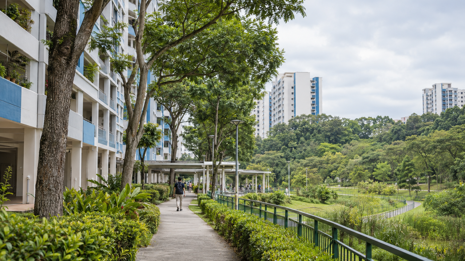
The rezoning gives nearby homes greater certainty over one green edge, but it establishes neither a completed amenity nor a price premium.
A 5.4ha plot near Tengah Service Reservoir that had been planned for housing is now designated for park use. HDB said it retained the land as additional habitat after engaging nature groups; the underlying Master Plan amendment had already been approved on 22 May 2025.
For Tengah owners and prospective buyers, the immediate value is greater certainty over one local edge—not fewer homes across the entire town and not an assured property-price uplift. The change limits the prospect of housing development on that particular plot, but the park’s design, access and delivery timetable remain unconfirmed in the available evidence.
This is an approved land-use change, not a newly opened park
The timing is important. HDB’s later explanation describes why the 5.4ha site was retained, but the statutory planning change occurred through an earlier amendment. Treating the disclosure as a fresh cancellation of housing would therefore misstate what happened.
The approved amendment changed several uses around Tengah Town Centre rather than simply removing one residential parcel. Its written statement records residential land changing to park, road, health and medical care, and civic and community institution uses. Other park and road parcels became residential, while maximum permissible plot ratios on specified residential and commercial-residential sites increased from 2.8 to 3.0.
That adjustment permits about 7.1% more gross floor area on the affected sites, calculated by dividing the 0.2 plot-ratio increase by the previous 2.8 limit. It does not prove that the extra capacity replaces every potential home on the 5.4ha plot; the published amendment does not provide enough information to calculate a net change in homes.
The defensible conclusion is narrower: Tengah’s planned distribution of homes, facilities, roads and greenery has been reorganised. It is not possible from the amendment alone to say that the town has lost a particular number of flats.
The clearest benefit belongs to homes near the reservoir edge
A park designation provides more local planning certainty than land still zoned residential. Reintroducing housing on this plot would require another formal planning change rather than an ordinary variation within the existing park use.
For nearby households, this reduces one potential development interface. Depending on the eventual layout, that could mean a lower risk of facing future residential blocks, less construction on that specific site and a more substantial green buffer.
A park zoning is a meaningful commitment to land use, not a completed amenity or a price guarantee.
The benefit will not be distributed evenly across Tengah. A home with a practical walking connection or outlook towards the future park may gain more from it than a block separated by roads, construction parcels or a long indirect route.
Buyers evaluating a park-related claim should therefore locate the exact block, plot and likely access points. “Near greenery” can describe very different daily experiences: an open outlook, a five-minute walk or merely being in the same new town.
The environmental rationale matters—but has limits
HDB said the plot near Tengah Service Reservoir would be retained as additional habitat within a larger future park area following consultation with nature groups. Environmental studies in Tengah have identified conservation-significant wildlife, including the Sunda pangolin, leopard cat and harlequin butterfly.
This fits HDB’s stated approach of commissioning environmental studies where development could affect sensitive areas, then using mitigation measures and stakeholder engagement to refine plans. In practical planning terms, a larger connected habitat can be more useful than isolated fragments, although the eventual ecological outcome will depend on park design, planting, disturbance and long-term management.
Tengah’s broader plans already include a 20ha Central Park, green connectors and a car-free town centre. The 5.4ha decision gives additional substance to that green framework, but it should not be confused with proof that all planned landscapes are mature or accessible today.
Singapore already has established housing estates associated with major parks, including Bishan and Bishan–Ang Mo Kio Park. That precedent may illustrate the long-term appeal of integrated greenery, but it does not establish how Tengah’s unbuilt park will perform or affect prices.
Park zoning also leaves important details unanswered. The evidence reviewed does not establish the opening date, path network, lighting, entrances, planting programme or maintenance arrangements. Those remain uncertainties rather than benefits that can responsibly be priced now.
The housing-supply counterargument is real, but incomplete
Setting aside 5.4ha once intended for housing presents a genuine trade-off in land-scarce Singapore. At a hypothetical plot ratio of 2.8, a site of that size could represent up to roughly 151,200 sq m of gross floor area before accounting for the precise planning boundary, permissible exclusions and project design. This is an illustrative calculation, not an estimate of cancelled flats.
The strongest criticism is straightforward: preserving more land has an opportunity cost when housing demand remains substantial. Yet reading the decision as a simple choice between a park and a fixed number of homes overlooks the accompanying rezoning and higher development intensity elsewhere.
The town centre is still proceeding, and its environmental assessment addresses both residual and cumulative effects from development. Tengah also continues to be planned with housing, commercial uses, community facilities and transport infrastructure rather than as a low-density settlement.
There are two legitimate objectives here: providing homes and preserving enough connected habitat for a liveable town. The amendment suggests planners are trying to rebalance those objectives spatially, partly by retaining one green edge and allowing somewhat greater intensity on selected development parcels. Whether that produces an acceptable outcome can only be judged as the town centre and park are delivered.
Buyers should separate today’s convenience from tomorrow’s plan
Tengah remains a developing town. Its long-term proposition includes extensive greenery and rail connectivity, but present-day convenience varies considerably by precinct, walking route and completion stage.
The Jurong Region Line is scheduled to open progressively, with its first two stages targeted for 2028. That transport programme is separate from the park rezoning, and neither should be treated as if it were already fully available.
For current owners, the change strengthens confidence that the reservoir-side plot has a greener planned future. It does not remove construction noise and traffic from other active parcels, nor does it immediately improve access to shops, schools or trains.
For buyers, the useful comparison is between three conditions:
| What is established | What remains planned | What is not supported |
|---|---|---|
| The 5.4ha site is designated for park use | Park design, entrances and opening timetable | A quantified resale premium |
| Wider land uses and selected plot ratios were amended | Maturing greenery and ecological performance | A stated number of cancelled homes |
| Tengah continues to develop as a mixed new town | Progressive completion of facilities and rail links | A town-wide housing shortage caused by this plot |
A statutory plan has real weight because it governs permissible land use and development intensity. But it is not a construction programme or valuation report.
The next consequential evidence will be a site-specific park plan showing access, landscape treatment and delivery timing. Until that emerges, the sound property interpretation is local and measured: owners near Tengah Service Reservoir have gained greater certainty over their future surroundings, while buyers must still distinguish an approved green boundary from an amenity they can use today.